
Stephenville Address Records by Era
Start the trail with the source closest to the date in question. Erath County property and recorded-instrument records can connect a parcel with a transfer, while a directory, census, or newspaper can show a dated listing tied to that place. Maps establish the physical setting. Cemetery and probate records can help close a historical trail, but none of these sources alone proves a current connection to an address. Keep ownership, listed household, and building evidence in separate columns as the research grows.
| Historical source | Years it covers | Where held | What it can show |
|---|---|---|---|
| Erath County deed series | 1867 to 1902 in the listed TSL series | TSL and Tarleton microfilm; County Clerk records | Direct and reverse deed indexes, transfers, and legal descriptions |
| Baldwin Stephenville directory | 1940 verified holding | Texas State Library catalogue | A dated city-directory lead, subject to page-level review |
| Federal population schedules | 1790 to 1950, subject to the 72-year rule | National Archives | Household fields that vary by census year |
| Stephenville Sanborn sheets | 1896, 1920, and 1921 individual sheets located | Portal to Texas History | Buildings, streets, geographic features, and fire-risk details |
| City cemetery interment tables | Current online tables; dates vary | City of Stephenville | Name-based maps and dated PDF-row evidence |
The Texas State Library Erath County guide is the key route for the historical county series, including its reel-level gaps and volume notes.
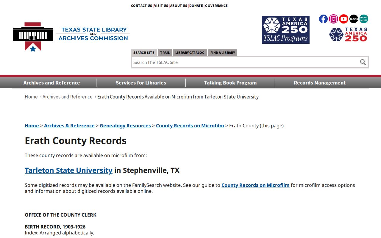
The reel listings identify a source and its date range, not an automatic match to a person or address.
Stephenville Address Records, First
For a known Stephenville location, begin at ECAD Property Search. Its observed fields include Street Number, Street Name, Owner Name, Property ID, Geographic ID, Subdivision, and Legal Description. The portal advises using a simple street name when a full address fails, and trying a first or last name alone when a complete name does not work. Record the property or geographic ID and the legal description before leaving the result. ECAD says its database is for research and that legal descriptions and acreage should be verified with the district.
The current address is only one label. A situs address is the physical parcel location. An owner mailing address is where a tax or appraisal notice is sent and may not be the parcel location. The legal description, such as a lot and block or metes-and-bounds wording, can remain stable when street language changes. That description is the better bridge between an ECAD result, a historic deed, a plat, and a map.
Stephenville GIS maintains roads, addresses, parcels, and zoning for Community Development. The captured viewer timed out, so its live parcel-click controls, map-search labels, and adjacent-selection tools were not verified. Use the City GIS description for map context and ask the county's 911 Addressing and Maps contact for an official assigned address or road-name record when the address itself is disputed.
Note: An owner field and an address field describe different facts, so neither should be treated as a list of everyone who lived there.
Erath Deed Chain for Past Stephenville Residents
A deed chain follows property transfers, not household membership. Use the current parcel identifiers to search the Erath Recorder Kiosk, which offers owner, ranch or business, license, brand, book, volume, page, date-range, document-type, and exact or wildcard controls. The online coverage start was not located in official sources. The index is a finding aid, so obtain the filed instrument or a certified copy from the County Clerk when the document itself matters. County fees listed in the research include a per-page copy charge and a separate certification charge, both worth reconfirming before ordering.
- Record the ECAD property or geographic ID, situs address, and legal description.
- Search the latest owner and the legal-description wording in the recorder index, then note the instrument reference and recording date.
- Read the acquired instrument to identify the party who transferred the parcel to that owner.
- Search that earlier party as a grantee or by the same legal description, and repeat the sequence backward.
- For older links, check the 1867 to 1902 TSL deed series and its direct or reverse indexes before concluding the trail stops.
- Grantor and grantee
- The grantor transfers an interest; the grantee receives it. Their names are index paths, not proof of a household.
- Chain of title
- The ordered sequence of recorded transfers associated with a parcel or legal description.
- Legal description
- The lot, block, subdivision, or metes-and-bounds language used in deeds and plats. It can outlast a street-address change.
The TSL guide notes gaps in several historical series. A missing indexed result can reflect a missing volume, an unindexed series, or filing under another office.
Stephenville Street Map History
Sanborn sheets put the address trail into a dated physical setting. The UNT Portal has an individual Stephenville 1921 Sheet 5, published by the Sanborn Map Company and provided through the Dolph Briscoe Center. Its buildings, streets, geographic features, and fire-risk details can help test whether a directory address refers to the same block or building footprint. A map does not name a household by itself.
Use the 1921 sheet as a dated location check, then compare it with an address, legal description, or census enumeration district from the same era.
The Portal also provides Stephenville 1896 Sheet 2. It preserves older street and building context, while the complete sheet count for every local Sanborn edition was not located.
The 1896 image is a geographic clue, not proof that an old address has the same modern street number. Preserve the original street wording instead of silently modernizing it.
Stephenville's 1855 layout included Floral and Green around a central square, and Washington later became the historic commercial strip. Those local names are useful map and newspaper search terms when a property trail reaches the old town area.
Stephenville Past Households in Directories
Property transfers answer who transferred an interest. Household sources answer a different question. The Texas State Library catalogue verifies one Stephenville city-directory holding for 1940, while the inspectable 1950 Stephenville Daily Empire page is a business and professional directory, not a complete residential list. Search names surname-first and with initials, and retain the edition date. The collection and access routes are detailed on the Stephenville city directory page.
Pair a directory or newspaper date with the closest federal census. The National Archives reports that public population schedules run through 1950 under the 72-year rule, with fields varying by year. From 1850 through 1950, schedules may include names, ages, birthplace, street address, marriage information, and other household fields. The 1890 census was largely destroyed in a 1921 federal fire, so a gap there is national rather than a Stephenville courthouse loss.
- Write down the directory or newspaper year and the name exactly as it appears.
- Locate the nearest public census and save the census date and enumeration district.
- Compare the street, cross street, map sheet, or legal description instead of relying on a name alone.
- Use a deed, probate file, cemetery record, or obituary as a dated follow-up layer.
A criss-cross directory can arrange entries by street and number, but a local reverse run has not been verified. Ask the catalogue holder whether one exists for the target year before assuming an occupant trail can be read by address.
Stephenville Record Sources Beyond Deeds
When a deed chain identifies a name but not a household story, move to local historical collections instead of guessing. Tarleton Dick Smith Library Special Collections preserves Tarleton, Erath County, Cross Timbers, manuscript, photographic, rare-book, and serial material. Its county-records holdings include Erath material in microfilm or textual form, available free by arrangement. Some collections are offsite, so an advance request with a surname, date range, and address or neighborhood is more useful than a broad request for every record.
The Erath County Genealogical Society offers volunteer lookup research, early Erath newspapers generally dating from 1888 forward with incomplete years, and a genealogy room available during library hours or by appointment. These are practical family-history leads. They do not replace a filed instrument, a census image, or a certificate from the office that holds the original record.
Stephenville Cemetery Trail Markers
A cemetery record or probate file can anchor the end of a historical person trail. The City of Stephenville provides links for East End Memorial, West End Memorial, and Mount Olive records. Cemetery PDF rows may supply a name, cemetery, birth date, death date, and burial date, but an unknown date can appear as 0/00. That structured-looking placeholder is not a real month or day. Read each row with the map or PDF source that supplies it.
The City cemetery page is the official starting point for those map and record links.
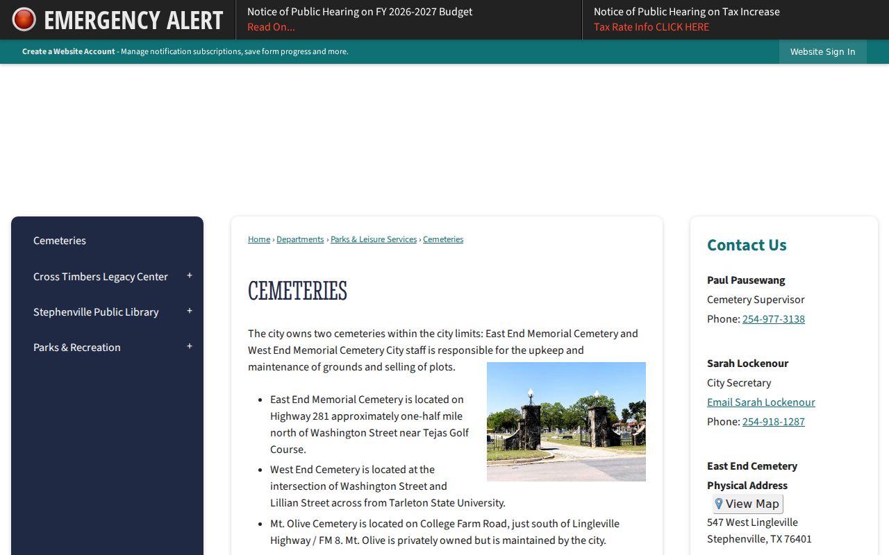
A cemetery match may help distinguish people with the same name, but it does not establish where a person lived at every point in life.
For estate context, the TSL Erath guide lists probate minutes from 1866 to 1934 and wills from 1880 to 1932, with reel references. Those records can connect an estate date to a deed sequence, subject to the guide's volume boundaries and gaps.
Stephenville Address Records Evidence Limits
Stephenville records have different custodians, dates, and evidentiary weight. A deed owner, parcel field, directory listing, census entry, map, cemetery record, or court file should be described for exactly what it shows. There is no official research finding of a citywide street-renaming or street-number-renumbering schedule, and no official record-loss event or recorder imaging cutover date was located. When an old address fails, compare the historic map, road name, plat, legal description, city GIS, and property ID rather than filling the gap with an assumption.
Lawful use. Historical address research is appropriate for family history, estate work, and personal property curiosity. Do not use a record trail to stalk, harass, or harm a living person.
For a local research assist, the Erath County Genealogical Society offers volunteer lookups and maintains newspaper and abstract materials, but its leads still need confirmation from the official record custodian where a certified record is required.
Note: A negative search can signal an incomplete run, a missing reel, a spelling variant, or a source that was never designed to list every address.